
Our GIS services enable organizations to plan, analyze, and manage spatial data with accuracy, clarity, and confidence—supporting informed decision-making across the full project lifecycle.
Effective planning and infrastructure development rely heavily on accurate geographic information. Our GIS Services provide clients with structured, reliable, and decision-ready spatial data solutions. From mapping and spatial analysis to database development and visualization, we support projects across infrastructure, construction, utilities, and environmental sectors by turning raw data into meaningful insights.
Our GIS professionals work closely with engineers, planners, and project teams to ensure spatial data is accurate, consistent, and aligned with project objectives. We act as a central point for managing geographic information, integrating data from multiple sources, and delivering clear visual outputs that support planning, coordination, and execution.
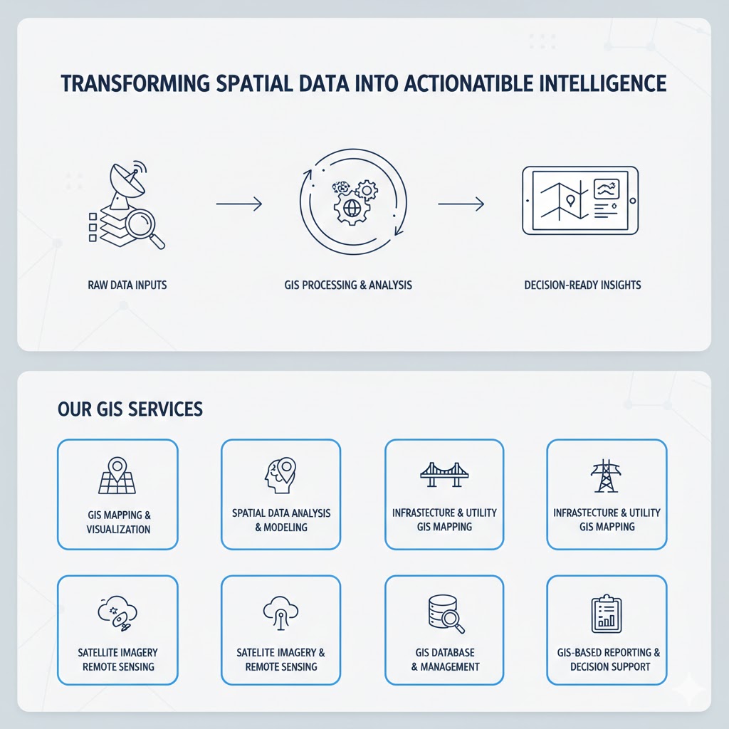
We develop clear, accurate, and professional maps that communicate spatial relationships, infrastructure layouts, and geographic patterns for technical teams and decision-makers.
Our GIS analysis supports site selection, infrastructure planning, risk evaluation, and development strategies through data-driven spatial insights.
We design and manage structured GIS databases that ensure data consistency, easy updates, and long-term usability across projects.
We map roads, utilities, pipelines, and assets to support design coordination, construction planning, and long-term asset management.
We analyze satellite imagery to support land analysis, monitoring, and change detection for planning and development purposes.
We convert complex spatial data into clear reports, maps, and visual outputs that support informed management and stakeholder decisions.
We specialize in a wide range of construction services, including residential, commercial, and industrial projects. From initial design to final inspection, we work closely with our clients to understand their unique needs and vision.
Send us your project overview, including drawings, consultants, timelines, and desired outcomes—we’ll analyze your needs.
We provide a detailed proposal outlining deliverables, responsibilities, and reporting structures aligned with your goals.
Once approved, our PM team begins full-time coordination and monitoring—ensuring scope, time, and budget stay aligned from start to finish.

We go beyond design and delivery—offering continued technical support, model updates, and lifecycle insights even after project handover.
